

Kansas Geological Survey, Open File Report 98-48
GEMS Site Borehole GPR, continued
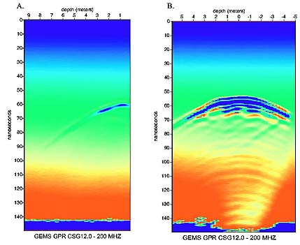
Figure 3
Survey 1 GPR common-source gathers using a 200 MHz borehole
antenna. The vertical axis is one-way travel-time in nanoseconds, and
the horizontal axis is vertical distance between source and receiver
antennas. Source depth locations were (a) 12.0 m, and (b) 16.0 m. The
antennas were 5.39 apart at zero-offset.
A large version of this figure is available and is
64k in size.

Back to report start
Kansas Geological Survey, Oil and Gas Information
Updated Nov. 17, 1998
Comments to webadmin@kgs.ku.edu
The URL for this page is HTTP://www.kgs.ku.edu/PRS/publication/OFR98_48/fig3sm.html
