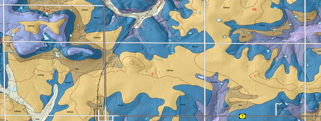
Quadrangle Maps
As part of U.S. Geological National Cooperative Geologic Mapping Program (STATEMAP), the KGS has produced 7 1/2 minute quadrangle maps as part of the county geologic mapping project.
2013 || 2014 || 2015 || 2016 || 2017 || 2018 || 2019
Koop, A.N., and Johnson, W.C., 2014, Preliminary Surficial Geology of the Atchison West Quadrangle, Atchison County, Kansas: Kansas Geological Survey, Open-file Report 2014-5, 1 sheet, scale 1:24,000, unpublished [PDF available online]
Koop, A.N., and Johnson, W.C., 2014, Preliminary Surficial Geology of the Lancaster Quadrangle, Atchison County, Kansas: Kansas Geological Survey, Open-file Report 2014-6, 1 sheet, scale 1:24,000, unpublished [PDF available online]
Smith, J.J., 2014, Preliminary Surficial Geology of the Haskell County Portion of the Hickcok SE Quadrangle, Kansas: Kansas Geological Survey, Open-file Report 2014-8, 1 sheet, scale 1:24,000, unpublished [PDF available online]
Smith, J.J., 2014, Preliminary Surficial Geology of the North of Satanta Quadrangle, Haskell County, Kansas: Kansas Geological Survey, Open-file Report 2014-9, 1 sheet, scale 1:24,000, unpublished [PDF available online]
Mandel, R.D., and Newell, K.D., 2014, Preliminary Surficial Geology of the Miami County Portion of the Lane Quadrangle, Kansas: Kansas Geological Survey, Open-file Report 2014-10, 1 sheet, scale 1:24,000, unpublished [PDF available online]
Mandel, R.D., and Newell, K.D., 2014, Preliminary Surficial Geology of the Miami County Portion of the Osawatomie Quadrangle, Kansas: Kansas Geological Survey, Open-file Report 2014-11, 1 sheet, scale 1:24,000, unpublished [PDF available online]
