![]()
- High Plains Home
- Data
- WIZARD Water Levels
- WIMAS Water Rights
- WWC5 Completion Forms
- Maps
- A collection of our most current hydrogeologic maps
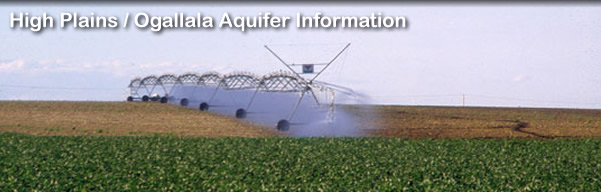
- Ogallala-High Plains
- Information and reports concerning the western Kansas (Ogallala) portion of the High Plains aquifer
- Index Well Program
- Measuring hydrologic responses at the local level; info on Barometric Response Function Software
- LEMA
- Exploring the Sheridan County 6 (SD-6) Local Enhanced Management Area
- Other Projects
Part of the High Plains Aquifer Information Network
Kansas Geological Survey, Water Resources
Updated Aug. 31, 2011.
Comments to webadmin@kgs.ku.edu
The URL for this page is http://www.kgs.ku.edu/HighPlains/hiplain/links213.shtml